From Every Angle: Discover the Power of Aerial and Ground Capture with Covalent Reality

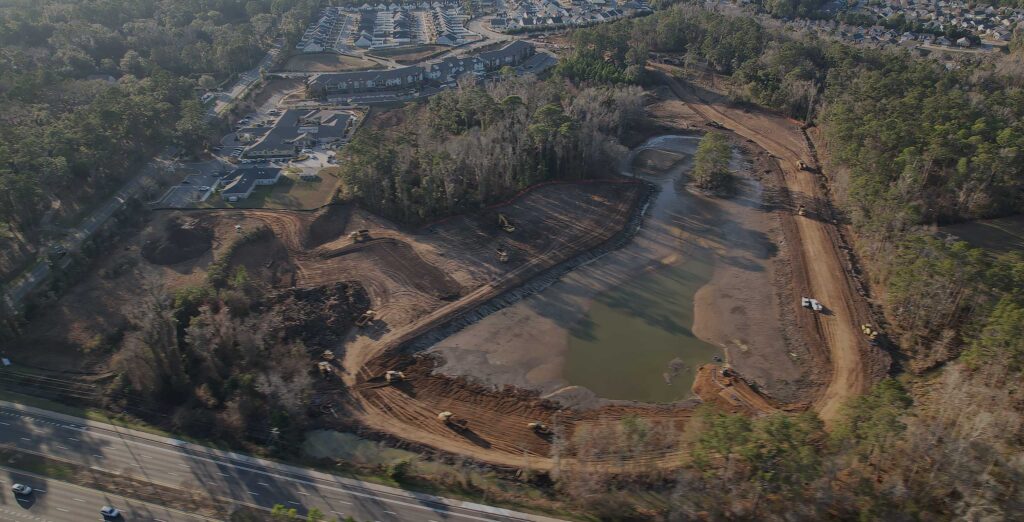
We specialize in utilizing the latest DJI technology to capture stunning high-quality photos and videos for our clients. With our cutting-edge 3D mapping technology, we provide comprehensive and accurate maps and models of real-world spaces for industries ranging from construction and real estate to film and entertainment.
Our team consists of experienced pilots and photographers who are passionate about capturing the beauty of the world from new angles. We understand the importance of precision and attention to detail in every project we take on, which is why we are committed to delivering only the best results for our clients.
Our services include aerial and ground-based photography, 3D mapping, and video production. We offer both high-quality photo and video services, as well as editing and post-production capabilities to ensure that our clients receive the perfect product for their needs. Our 3D mapping services provide clients with comprehensive and accurate models of their spaces, which can be used for everything from construction planning to entertainment purposes.
At Covalent Reality, we pride ourselves on our commitment to quality and our dedication to delivering the best results for our clients.
Introducing our comprehensive range of aerial capture services, designed to cater to your unique needs and elevate your projects to new heights:
📸 Simple Capture: Affordable yet stunning aerial photography and videography, ideal for showcasing properties, events, or projects. This package includes up to 15 edited photos, digital delivery, and a quick 48-hour turnaround time, with optional additional services available at an extra cost.
🚁 Professional Capture: Elevate your visuals with breathtaking aerial photography and videography, featuring up to 50 professionally edited photos. This package includes customized flight plans, post-production editing, and optional live streaming capabilities, as well as aerial mapping and surveying services upon request.
🌐 Enterprise Capture: Experience unparalleled aerial capture solutions tailored for businesses, with advanced data analysis, on-site safety assessments, and high-definition photos and videos. This package includes a dedicated account manager, technical support, and customized flight path design, hardware and software integration, and project management tools.
🔁 Long Term Capture Solutions: Our ongoing aerial photography and videography services focus on personalized, customized solutions that cater to your long-term needs and budget. We collaborate closely with you to develop a plan that exceeds your expectations and achieves your unique goals.

